
The East Mojave Heritage Trail, end to end
Two rigs, nine days and about 680 miles of the loop Dennis Casebier drew around the Mojave in the 1980s. A lost caliper bolt, a hidden wash at 40 mph, a Jeep without 4WD halfway up Foshay Pass, and a 100-mile loop we had to cut.
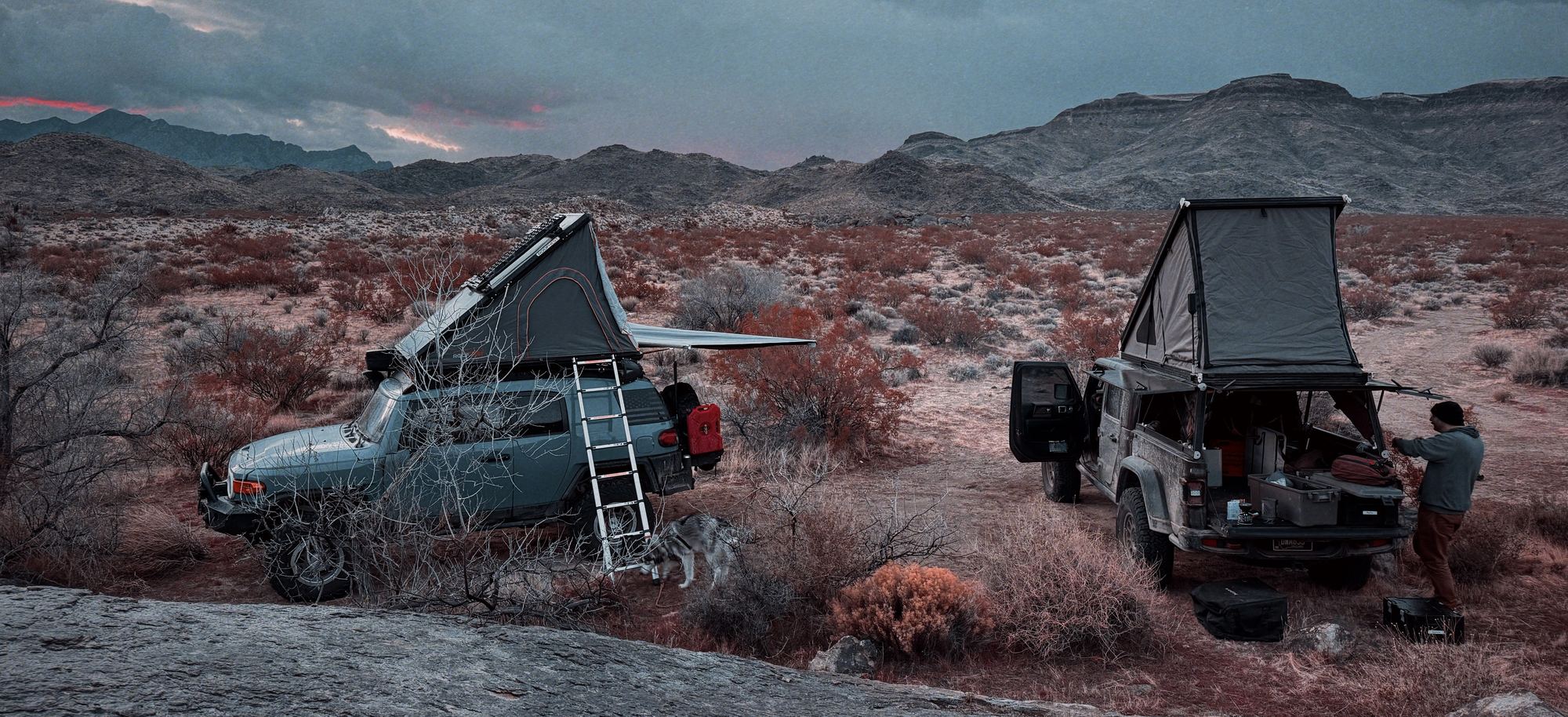
Wheel, wrench, repeat. That was the whole trip.
I'd done the Mojave Road twice before, with side trips both times. Once was the day after a snowstorm, with the Mojave River crossing at Afton Canyon coming up over my hood. The other was with a friend, when it was bone dry. It's always an experience, with terrain that changes all day and hidden sights everywhere if you go looking.
So when I heard about the East Mojave Heritage Trail, close to 800 miles the way I'd end up planning it, I knew I had to do it. It was just a matter of finding a friend with the same ambition and a rig to match. Eric was that friend.
We knew it had to be late winter for the best weather. (We didn't get it.) We knew it would take the better part of a week plus two weekends. And with that long in the dirt and 100-mile days, we knew getting to the end would take as much endurance as excitement.
This is a trip report, not a route guide. The EMHT runs through wilderness boundaries, private land and washes that change with every storm, and several pieces of the original route are closed to vehicles. Check land status before you go, carry the current track, and don't run it with one vehicle.
What the EMHT is
The East Mojave Heritage Trail is a loop of roughly 660 miles through the eastern Mojave, drawn by Dennis Casebier and the Friends of the Mojave Road in the 1980s. Casebier is the man who brought the Mojave Road back into use in the 1970s, and by the next decade it was getting driven hard. The EMHT was his way of spreading people out: a much longer route through the mines, rail sidings, ranches and petroglyph sites of the same desert, with the Mojave Road crossing it in a couple of places.
It took four years to scout. The result was four guidebooks, one per segment, with 71 detailed maps and something like 1,200 pages of mileage logs and history. Then the desert changed under it. The Mojave National Preserve and a string of new wilderness areas closed the route in 13 places, at least 75 miles in total, and Casebier stopped updating it. For years the books described a trail you couldn't legally drive in full.
In 2019, the trail's 30th anniversary, Billy Creech of the Mojave Desert Heritage and Cultural Association worked out reroutes around every closure with the BLM and ran the whole thing. His version comes out longer than the original, about 724 miles planned. Our plan was built on his route, with some offshoots of my own. I'd been out to the Mojave on plenty of earlier trips and had favorite spots I wanted to show Eric, so our line wanders off the official one in a few places. The New York Mountains and Afton Canyon were two of the must-sees I added.
The four segments each start where the last one stops, and the loop begins and ends at the El Garces depot in Needles. Along the way there are mailboxes with sign-in logs. When Creech ran it, the first EMHT box was averaging about one sign-in a month. The Mojave Road's sees around 250.
| Segment | From and to | Published | Our plan | Driven | Fuel near the route |
|---|---|---|---|---|---|
| 1 | Needles to Ivanpah | about 172 mi | 171 mi | 176 mi | Needles, Searchlight |
| 2 | Ivanpah to Rocky Ridge | about 190 mi | 241 mi | 153 mi | Baker |
| 3 | Rocky Ridge to Fenner | about 210 mi | 214 mi | 187 mi | Ludlow, Roy's in Amboy, Fenner |
| 4 | Fenner to Needles | about 150 mi | 166 mi | 163 mi | Fenner, Needles |
| Loop | Needles to Needles | 660 to 724 mi | 792 mi | about 680 mi |
Published mileages vary by a few miles depending on the source and the version of the route. Our plan runs longer because of the offshoots to my favorite spots and the night at Lake Havasu. The driven column is what onX recorded, which misses a few short stretches where the recording was off.
Day by day
| Day | Where we went | Miles |
|---|---|---|
| Mar 1 | Ten-plus hours on the highway to Needles, then a few miles of dirt to a quick camp | 8 |
| Mar 2 | First full day on the EMHT. Wrecks, Goffs, a passenger mirror lost to a Joshua tree, and camp in the New York Mountains | 68 |
| Mar 3 | Mailbox 1 and fuel in Searchlight, then back west until the FJ lost a caliper bolt short of Nipton. A run to Henderson for a new one, a trail-side repair, and camp right where it broke | 66 |
| Mar 4 | Nipton and the Colosseum Mine, skipping the Kingston loop, then old cabins in the Ivanpah Mountains and a night at Rodger's Cabin | 88 |
| Mar 5 | Past Teutonia Peak and the lava tubes, then down through the sand at 40 mph until a hidden wash stopped the FJ hard. Dented, checked over, and on to Afton Canyon | 100 |
| Mar 6 | Gas in Ludlow (no beer, it's a dry town), Mailbox 3, then a back-breaking climb of rocks and washes past Amboy Crater to camp south of the Kelso Dunes | 96 |
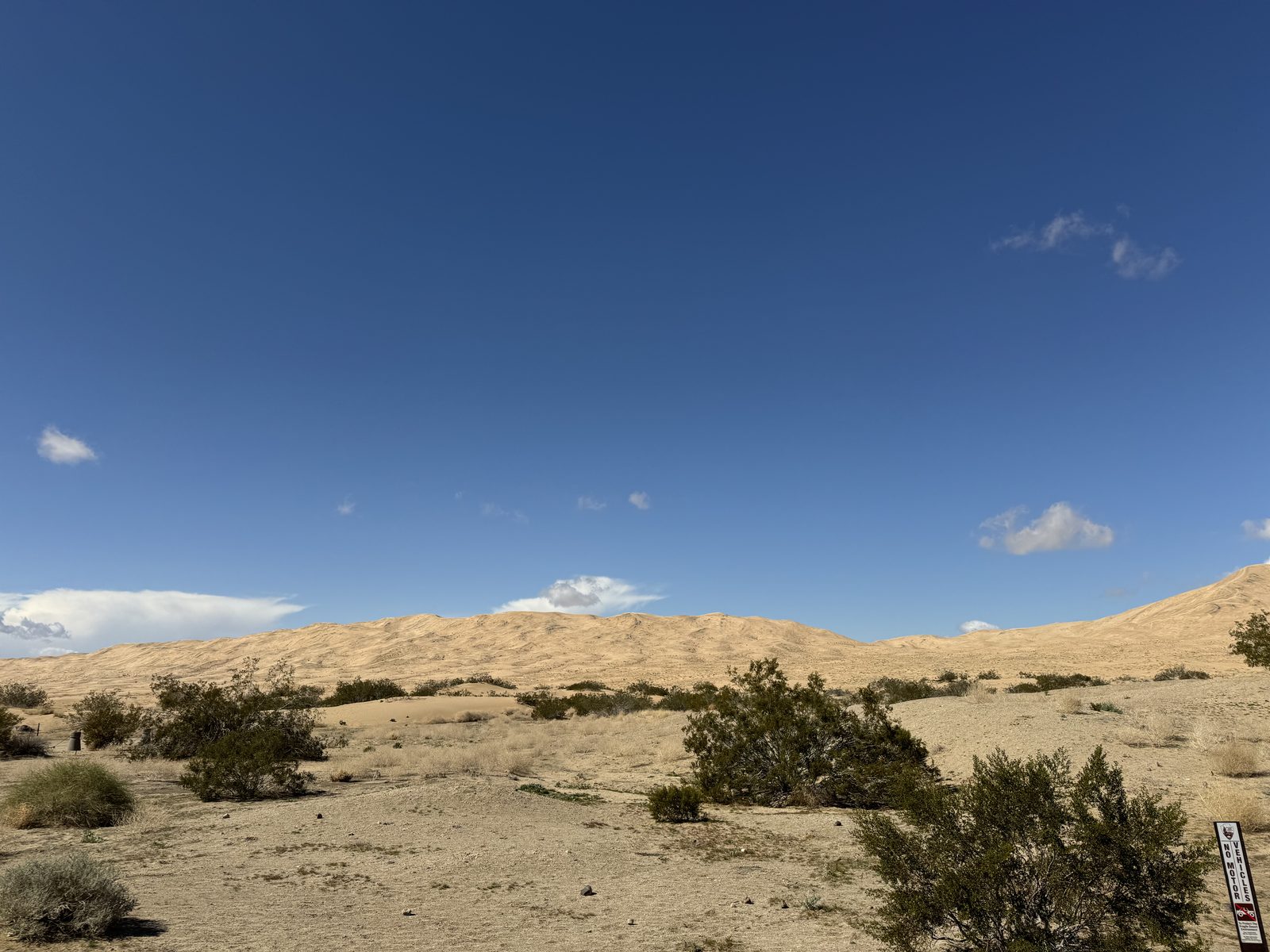
| Mar 7 | The Kelso Dunes and Kelso Depot, then up and over Foshay Pass, where the Gladiator lost 4WD, and on to camp below Hole in the Wall | 69 |
| Mar 8 | The longest day. Fenner, a reroute around a closed railroad crossing, Mailbox 4, SxS whoops toward the Old Woman Mountains, and out to the Colorado River at Lake Havasu | 124 |
| Mar 9 | Some steep buggy dunes, one stolen hat, and up the river to the finish in Needles | 62 |
Before we left
Fuel was my biggest worry going in. Eric's Gladiator is a diesel and had range for days. My FJ doesn't. So I marked every fuel stop on and near the route in onX and planned the days so we'd hit all of them, even when that meant backtracking. The run east to Searchlight and back on the second morning was one of those.
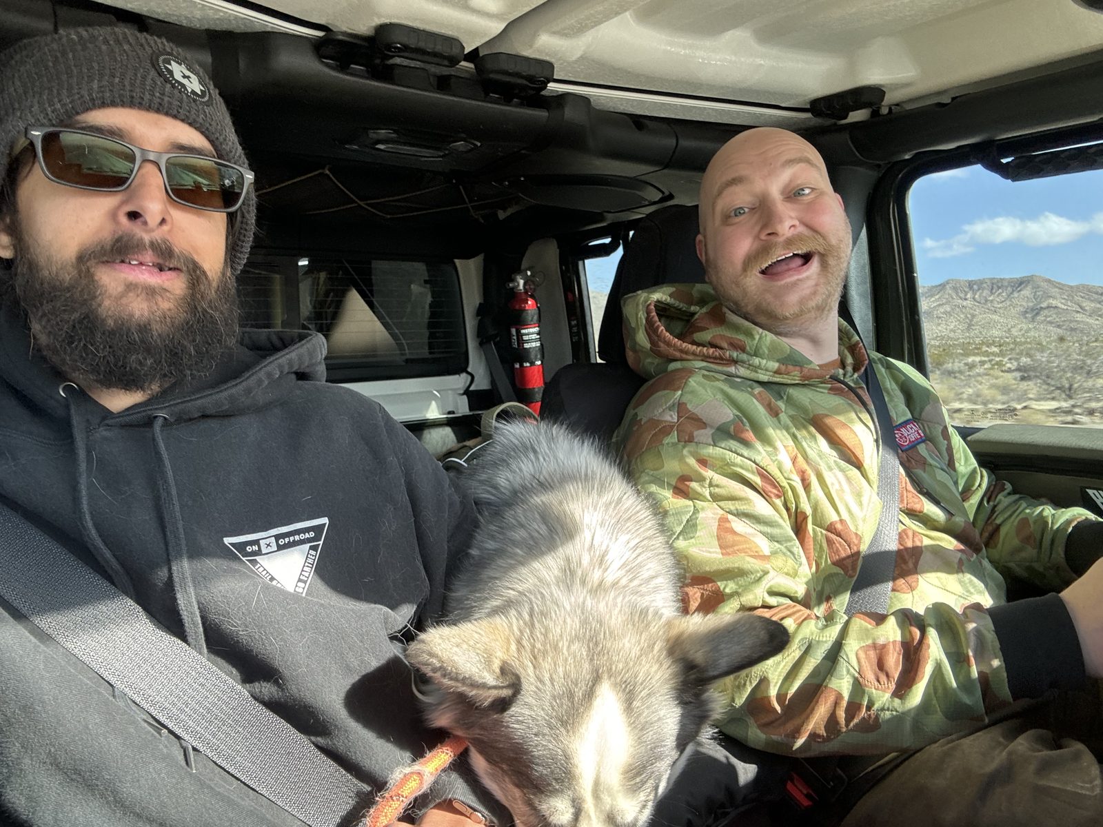
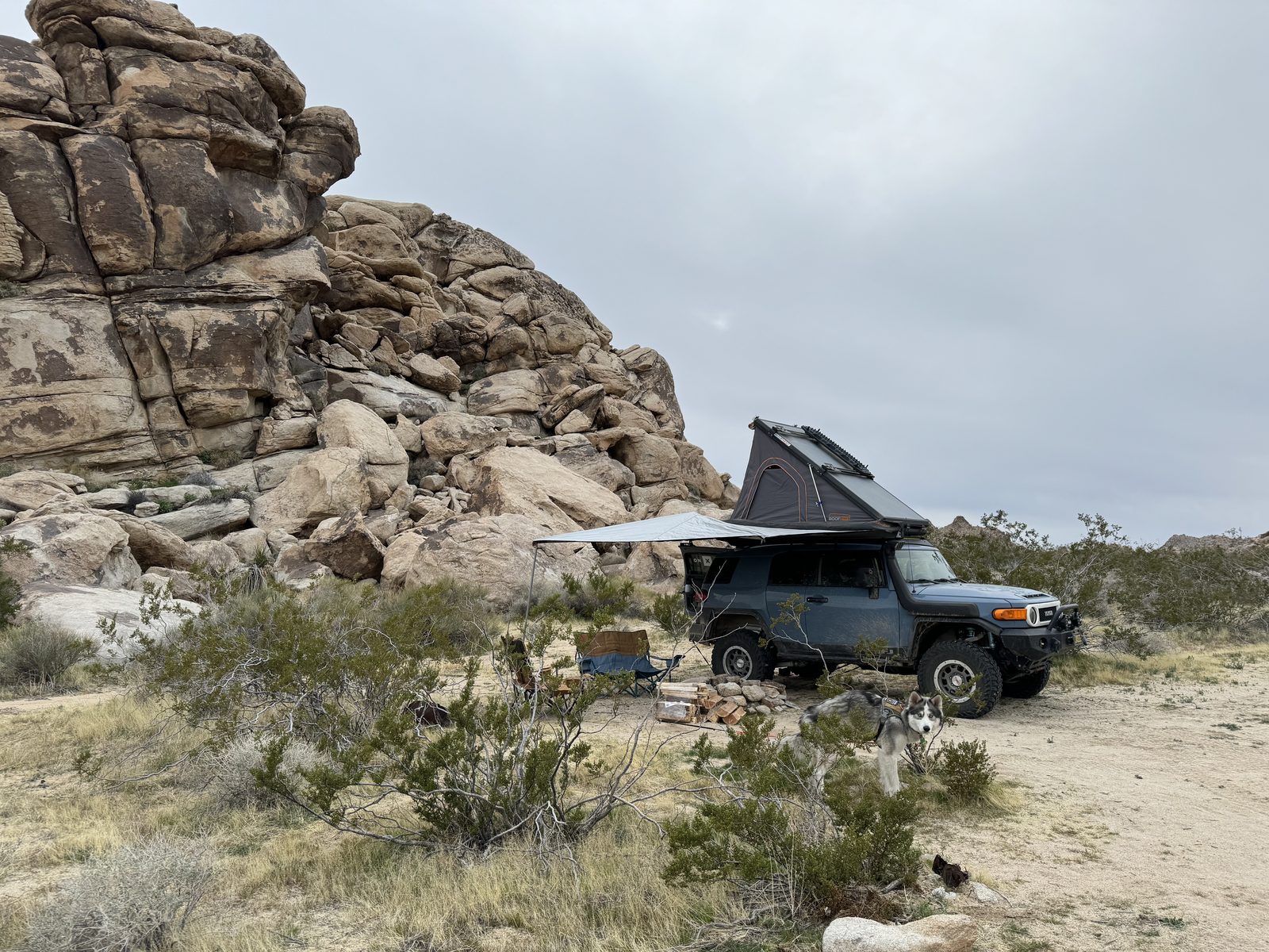
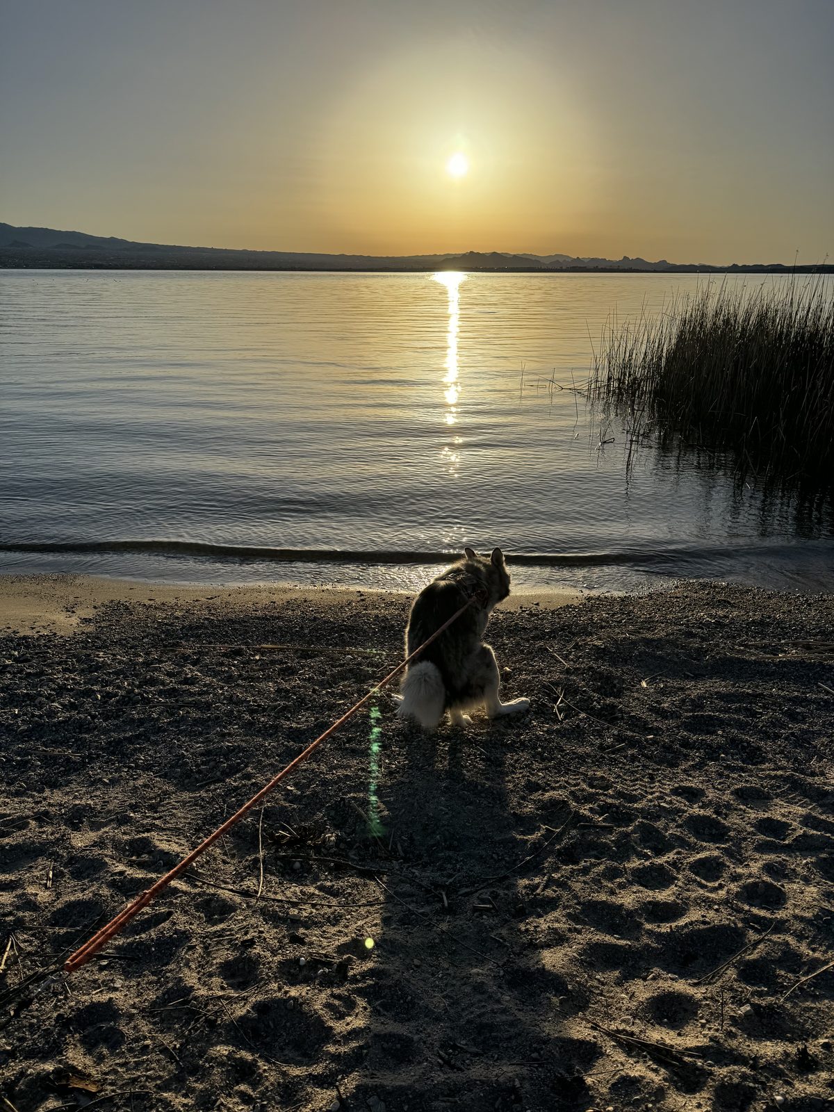
The FJ also carried my co-pilot, Zuzu. This was the trip that taught him how bad the trails can be and how good the camps can get. He made sure I used my legs every day, with a couple of walks between the long drives.
The rest of the prep happened on the map. The whole route was planned out in onX, the offline maps were downloaded, and I dropped every waypoint I could find or already knew about so we could go check them out. We knew we'd be out of cell signal for most of the trip. Eric had Starlink, so each night at camp we could still check in with family.
Segment 1: Needles to Ivanpah
The first book leaves the El Garces depot in Needles and works north to the old Ivanpah mining camp. On the way: the Goffs Schoolhouse, the petroglyphs at Indian Hill where it shares a stretch with the Mojave Road, Razorback Butte, the state line marker, and the Joshua tree forest around Caruthers Canyon. Most of it is easy washes and two-track. The exception is the Crescent Peak pass, with loose rock, small ledges and the segment's only steep climbs and descents.
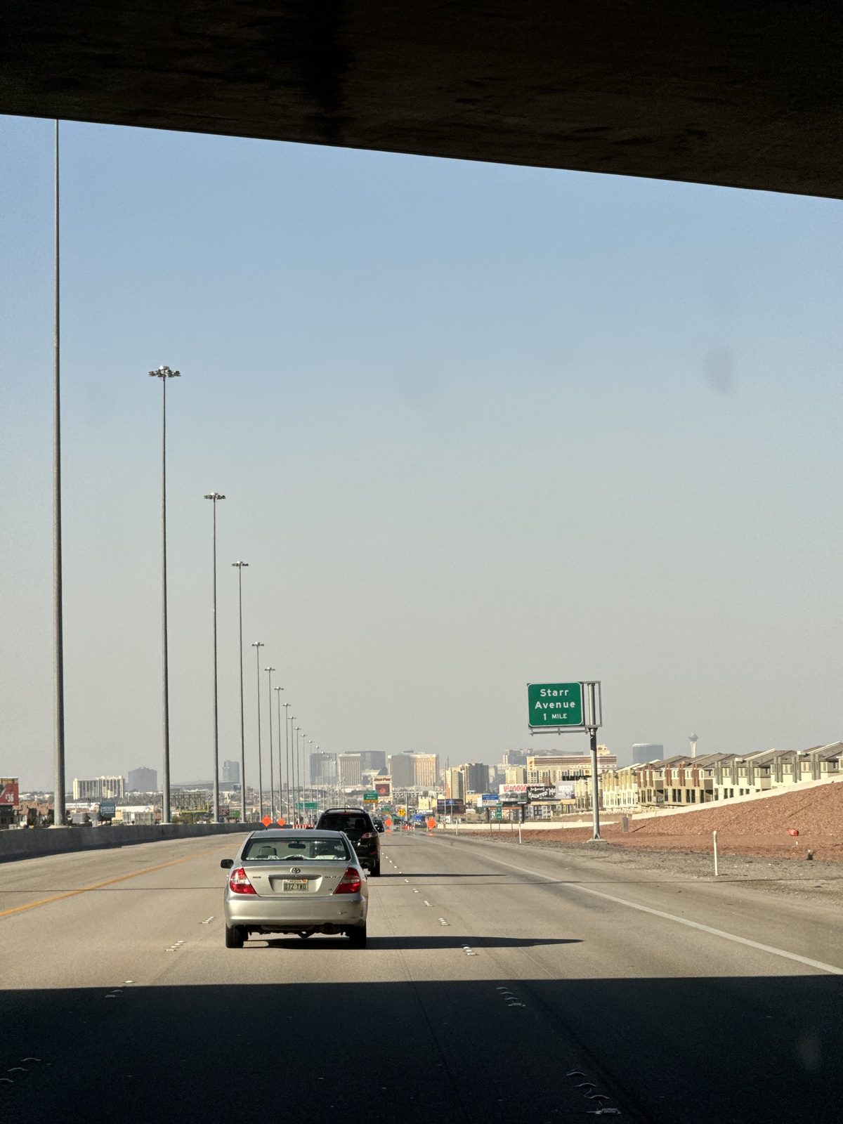
Friday was a travel day: more than ten hours of driving just to reach Needles. All we wanted from that night was a quick camp on dirt, so we'd wake up already on the trail. We found one about 8 miles out of town, after dark.
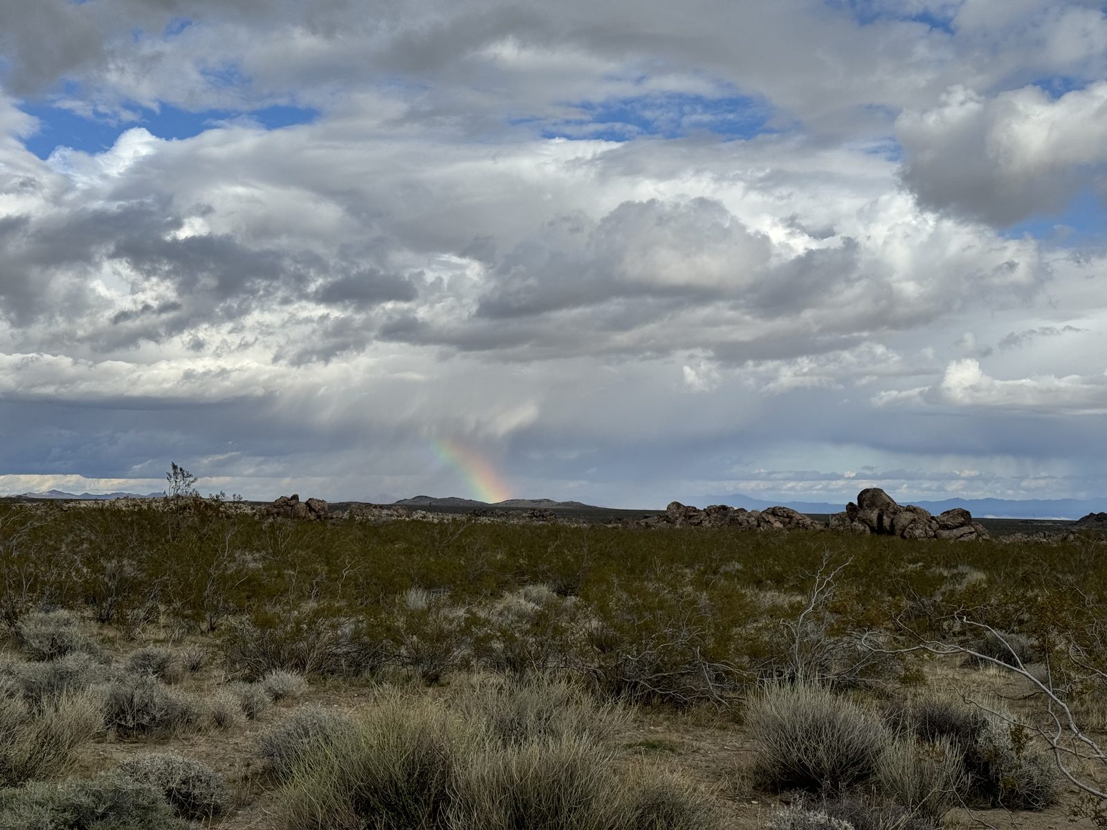
We had rolled in under a storm. That weekend the wind across the eastern Mojave was absolutely insane, day and night, for the first couple of days. Up the road in Las Vegas, the airport logged a 68 mph gust on March 2, its strongest March gust since 1985.
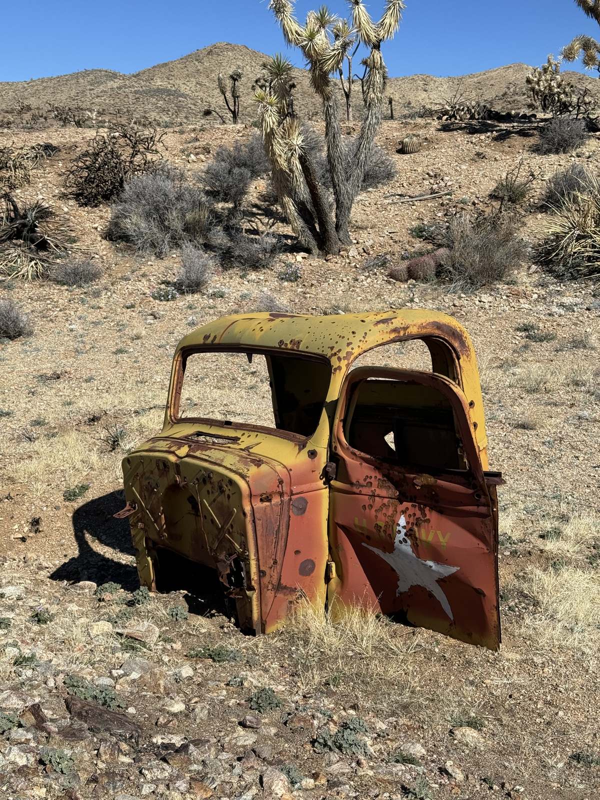
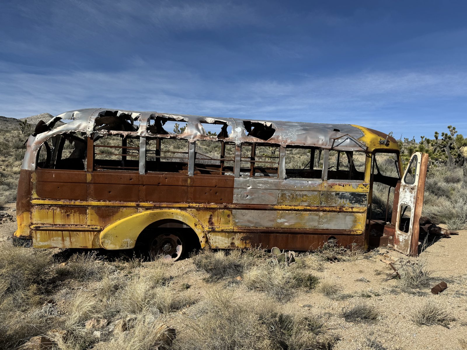
Saturday was our first official day on the EMHT, and it was a great one. We were feeling awesome, finding cool wrecks like a shot-up old car along the trail, and stopping at Goffs for a look around. Then we headed up into the New York Mountains, to an area a snowstorm had kept me out of on an earlier visit.
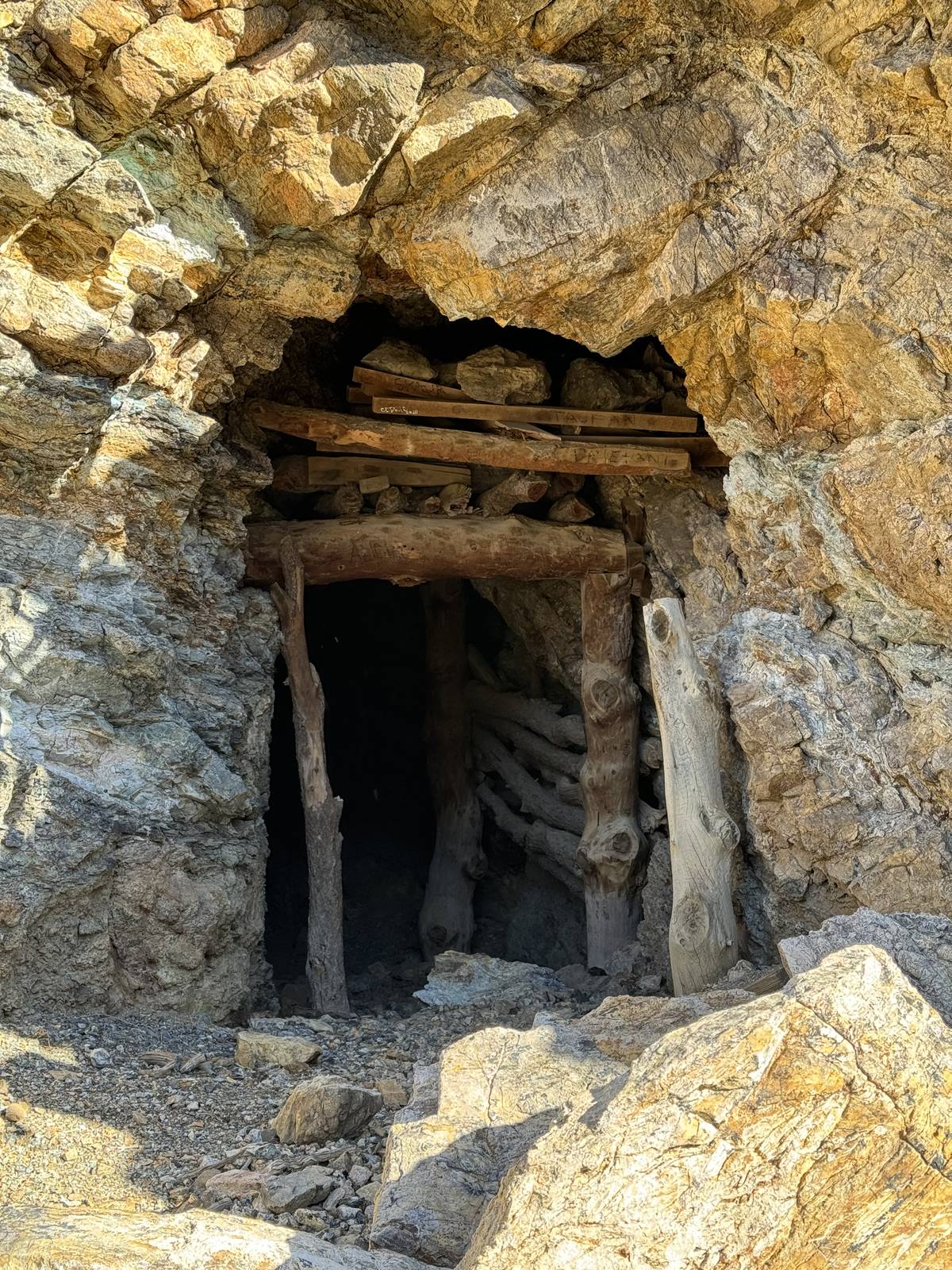
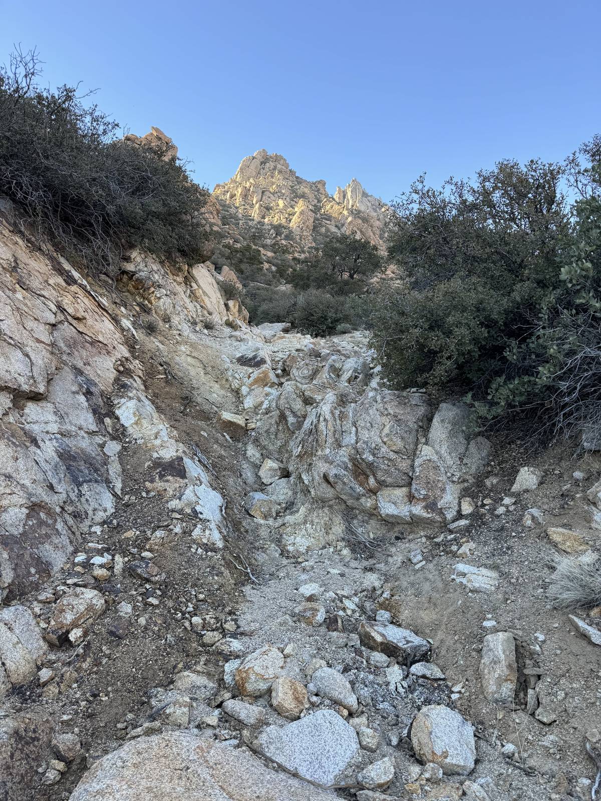
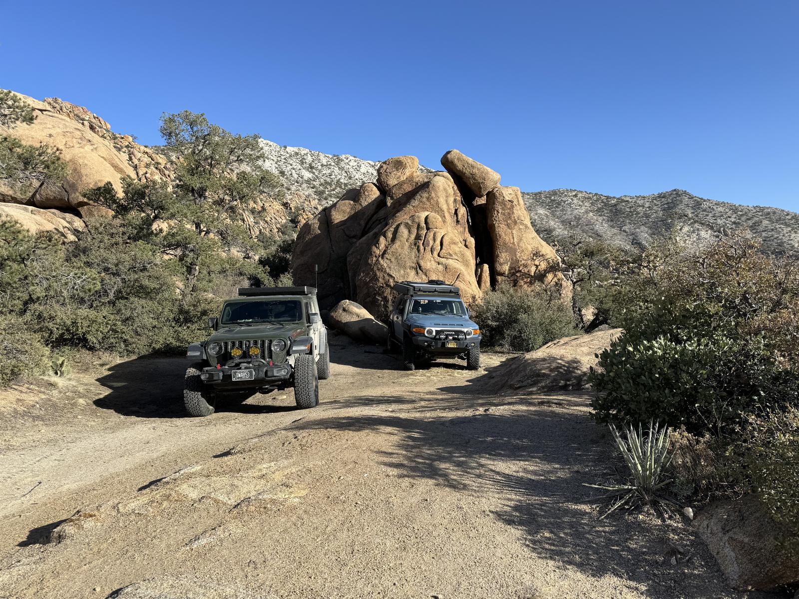
The day did claim my passenger mirror. On a narrow stretch it caught a Joshua tree and flew off, and before I could stop and go back for it, Eric had rolled a tire over it. We cleaned up the pieces and kept going.
Sunday started well. We signed in at Mailbox 1, ran east into Nevada for fuel in Searchlight, and came back west toward Nipton. Then, just short of Nipton, the FJ started making an insane noise and dragging its wheels. It took a while to find: one of the bolts holding the front passenger-side brake caliper had worked itself out somewhere on the trail. We walked back looking for it and never found it.
So we left the FJ where it sat and both piled into the Jeep to find a bolt. That meant pavement, all the way to Henderson, Nevada. No auto parts store or dealership there had the one I needed. Ace Hardware did, or near enough: I found one that fit. We drove back out, put the caliper back on in the dirt, and by then the sun was going down, so we camped right there. Emergency Camp is still a waypoint in my onX.
Segment 2: Ivanpah to Rocky Ridge
Segment 2 opens with a steep shelf road out of Ivanpah, then works north and west through the mining country around Kokoweef, past the site of the Mojave Phone Booth and the petroglyphs at Cow Cove, and out across Interstate 15 and Cima Road. The driving gets softer as it goes: Kingston Wash, the washed-out berm of the old Tonopah and Tidewater railroad, sand after Cima Road, and the cinder and lava country around the Aiken Mine and the lava tube. It ends on top of Rocky Ridge.
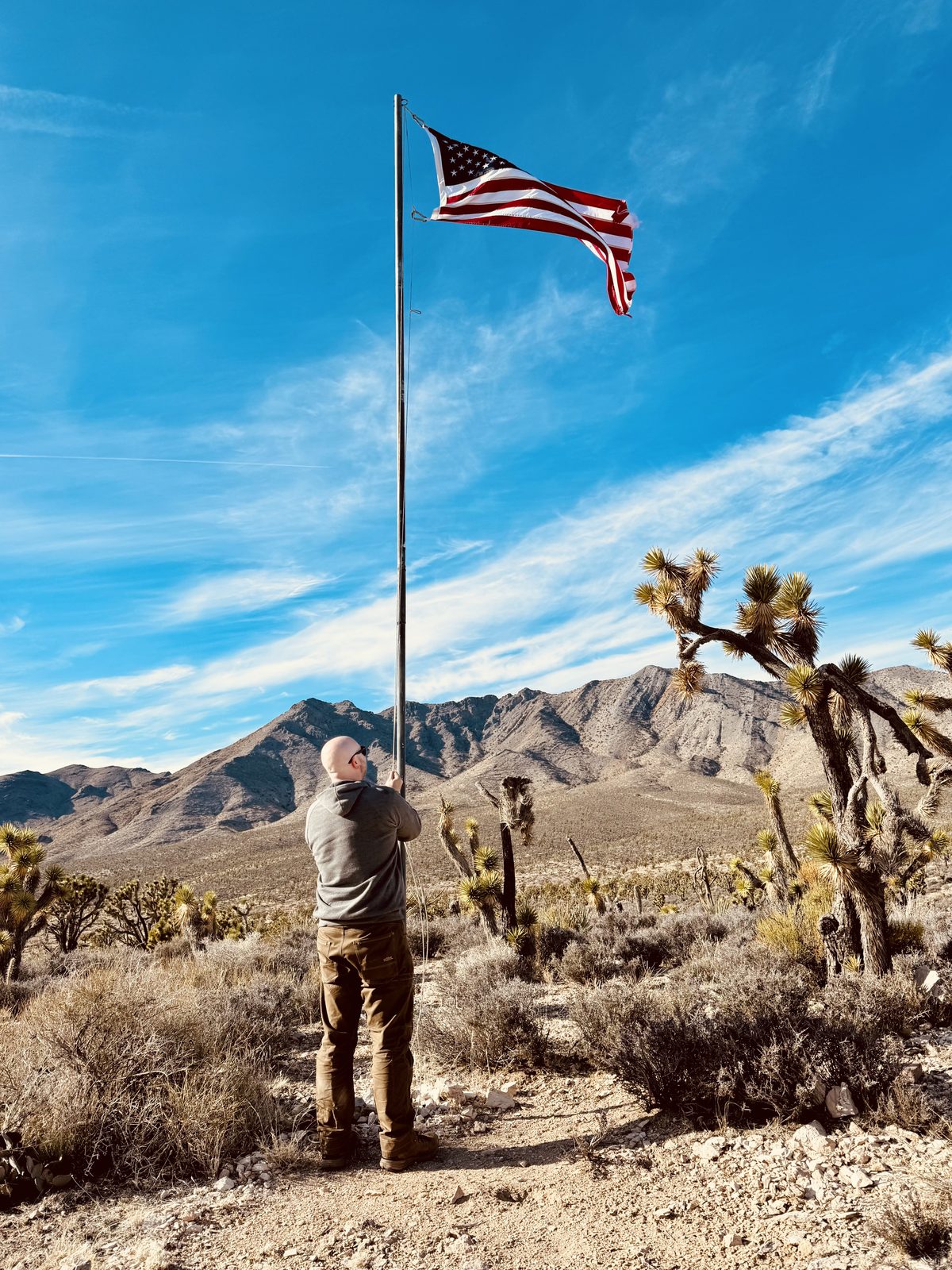
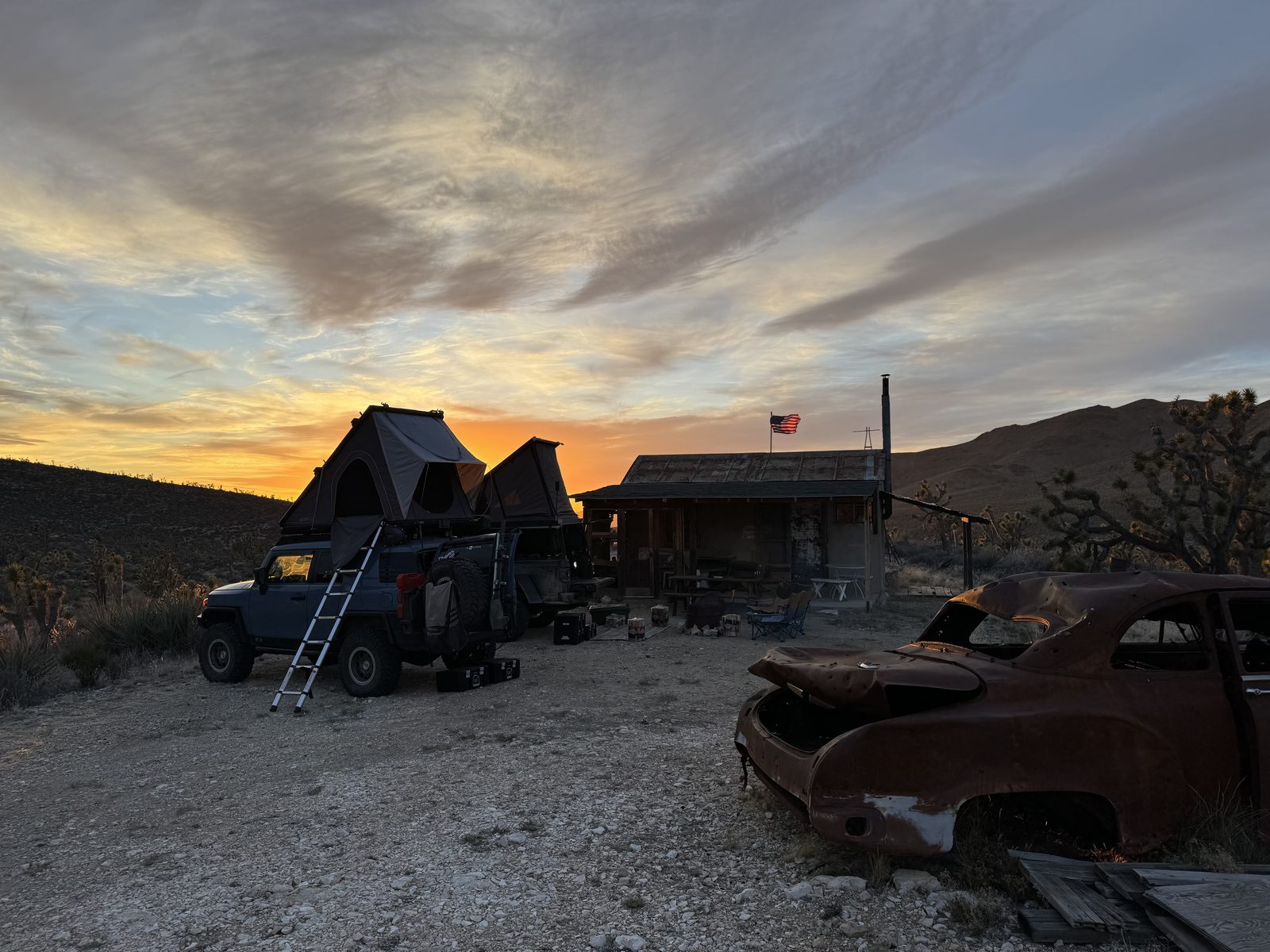
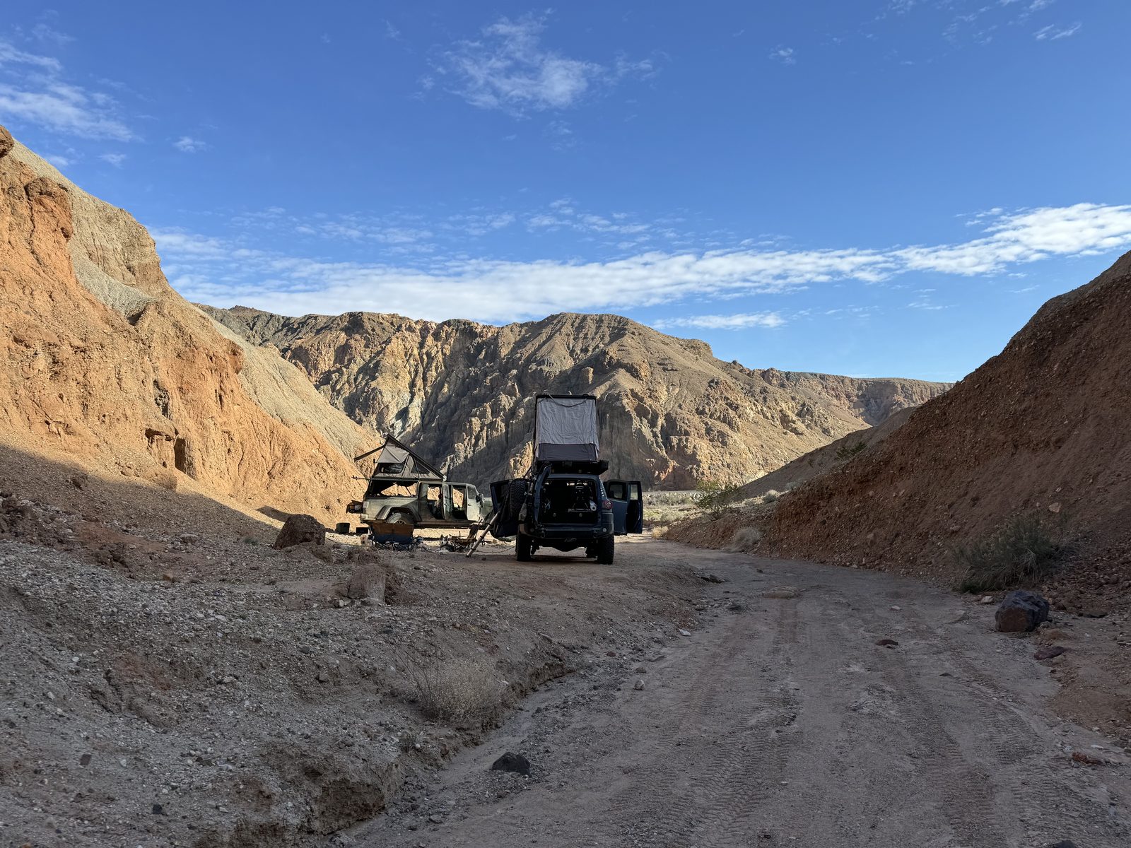
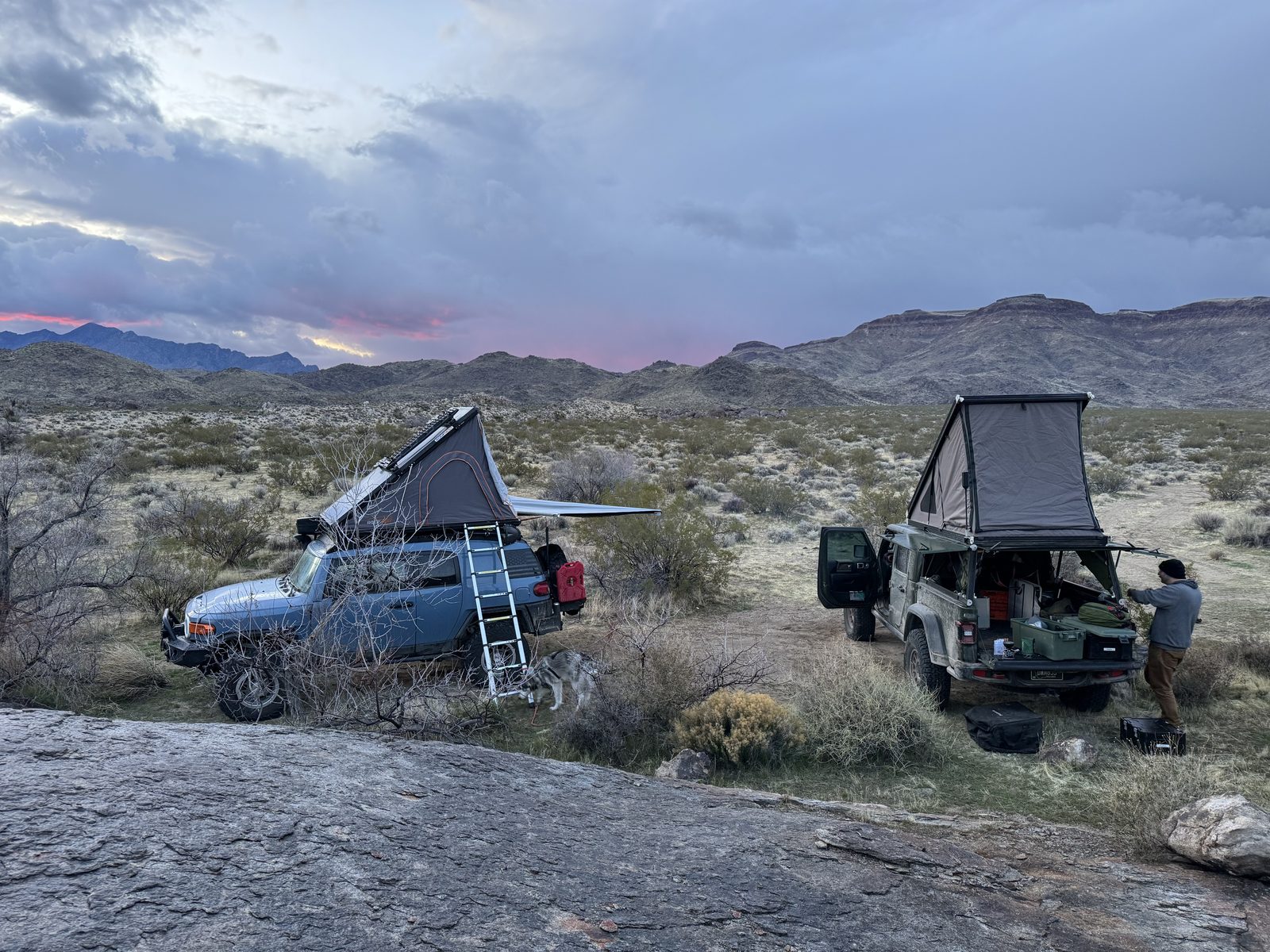
With the caliper sorted and a day lost, March 4 went from the emergency camp past Nipton and the Colosseum Mine, and straight past the turn for the Kingston loop. That freed up the afternoon for the Ivanpah Mountains, which are full of old cabins, some deserted and some still kept up. A friend had tipped us off to a few worth checking out, so we poked around and spent the night at Rodger's Cabin. Eric was excited to fly the flag while we were there.
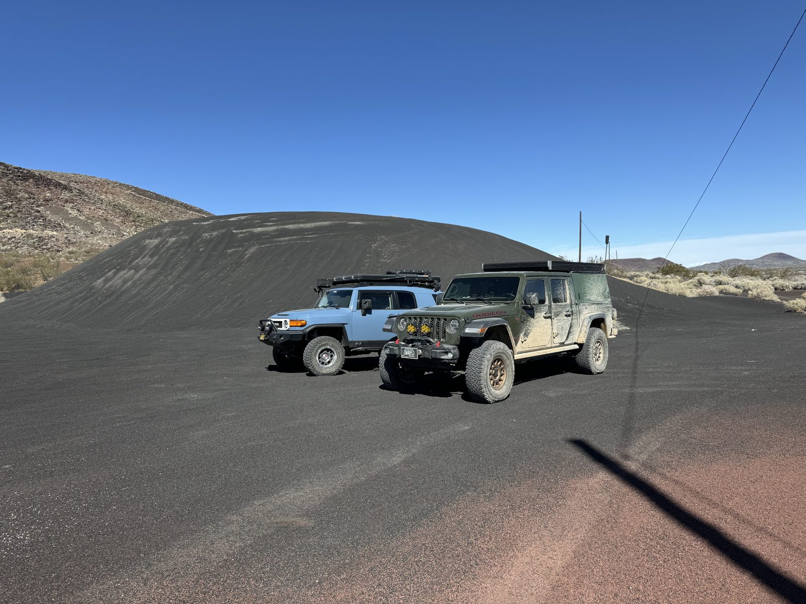
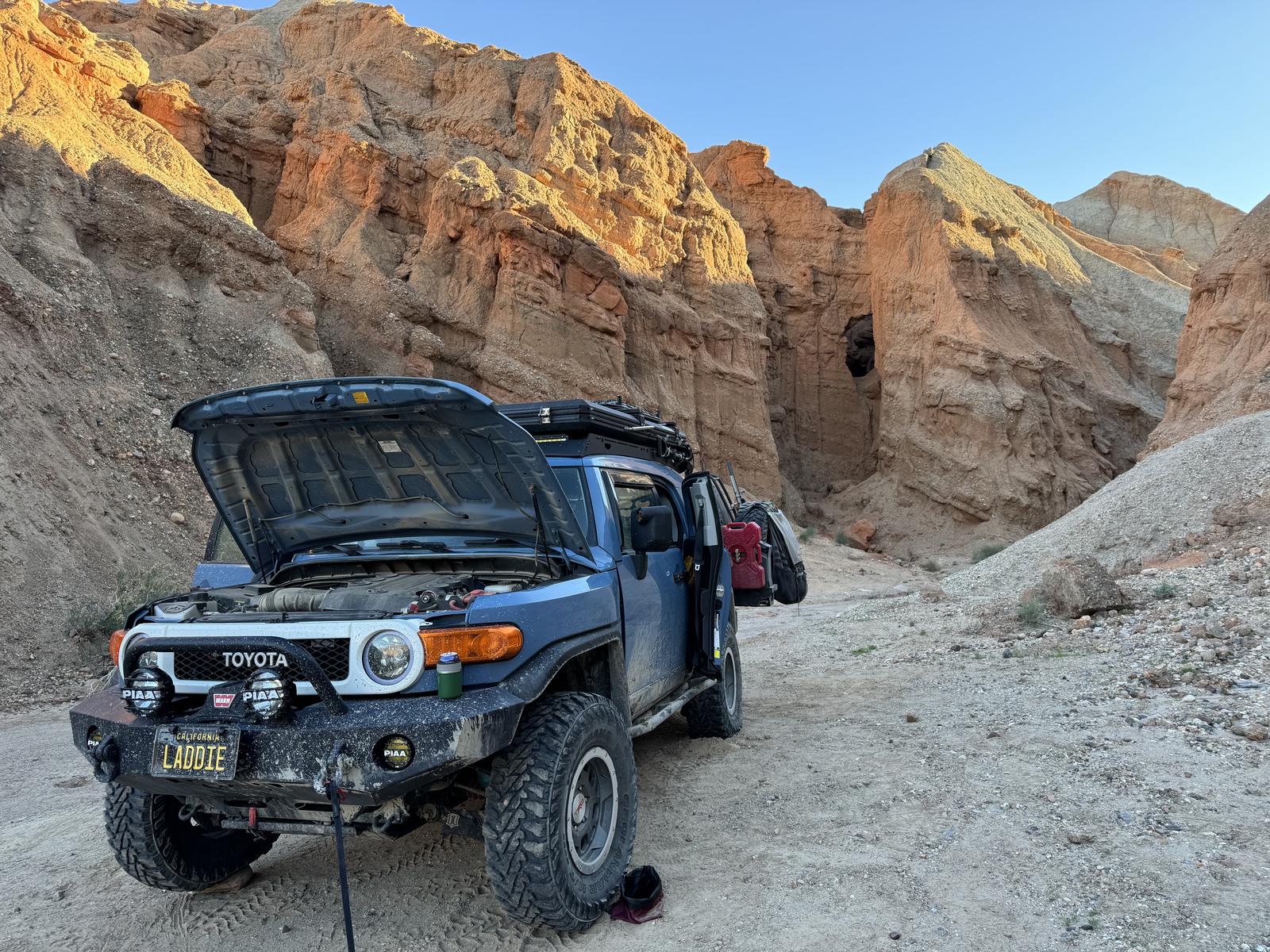
March 5 had the best driving of the trip. West of Kelso the trail drops through the sand of the Devil's Playground, and it felt amazing. We were bombing through it at about 40 mph. Then a wash came up out of nowhere, a 3-foot drop with a 3-foot climb out the other side. Brakes don't do much on sand. The FJ flew off one side and slammed into the other, front left bumper first.
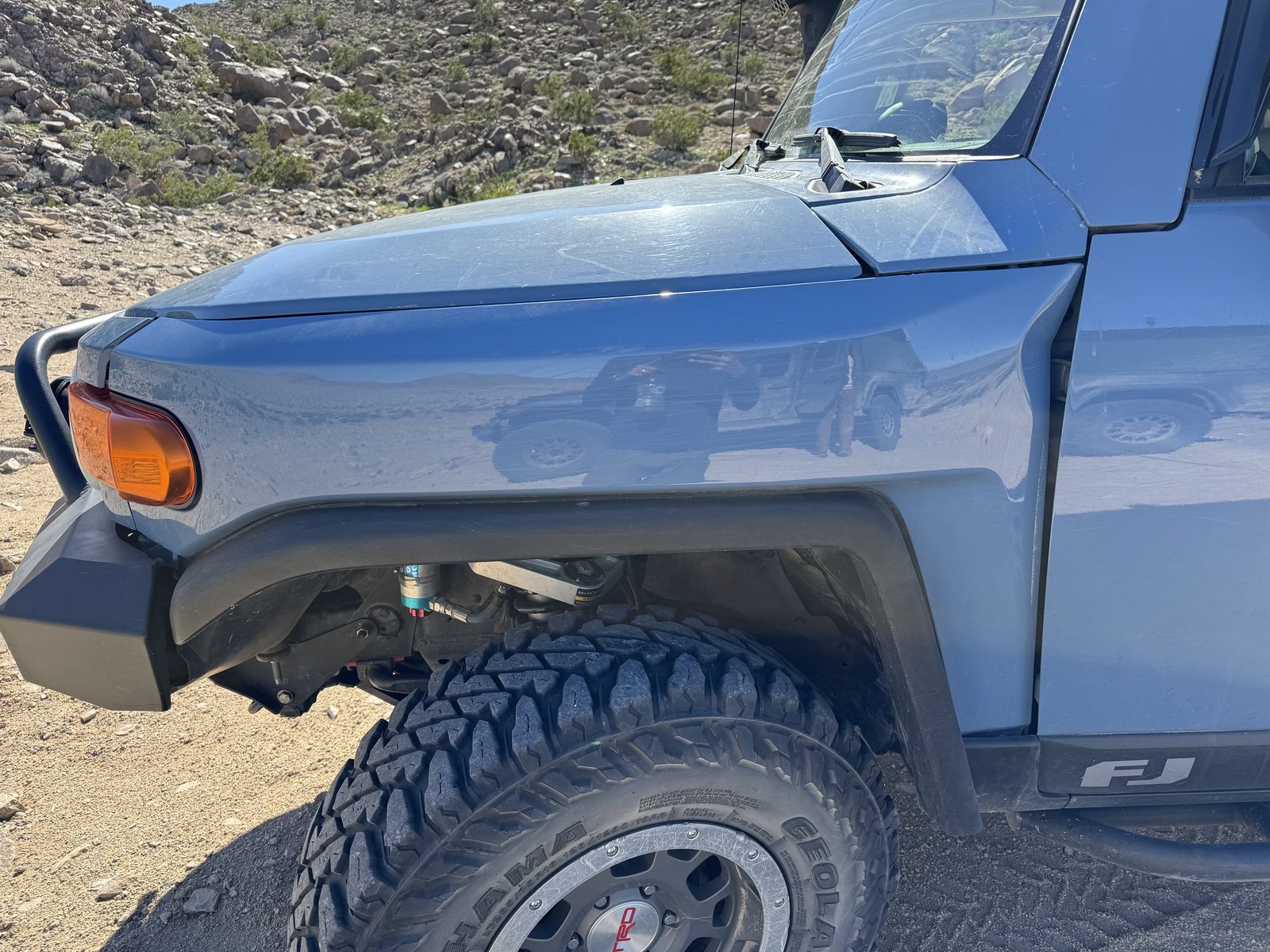
The hit threw my rear view mirror into the back of the truck and crumpled the driver's front fender near the door hinge, so the door wouldn't open more than about 12 inches for the rest of the trip. The bumper was fine. We went over everything else and it all looked fine too, so after a bit of a delay we carried on, finished the day's planned trail and made camp in Afton Canyon, one of the side trips I'd added so Eric could see it. That night I went over the roof rack and tent bolts and tightened all of them, just in case.
Segment 3: Rocky Ridge to Fenner
The longest book, and the one with most of the Mojave's famous names in it. Jackass Canyon, the Crucero and Broadwell dry lakes, Ludlow and Ash Hill, then Amboy and Amboy Crater on old Route 66, and into the middle of the Preserve for the Kelso Dunes, the Kelso Depot, Hole in the Wall and Mitchell Caverns, before it ends at Fenner. Expect dry lakes and a lot of sand.
On March 6 we came out of Afton Canyon and stopped in Ludlow to gas up and, we hoped, restock on beer. Ludlow, it turns out, is a dry town, which put a real damper on our dwindling supply of drinks. The gas station did sell a small mirror, though. I bought it and gorilla-taped it where my passenger mirror used to be, and it held all the way home until I could get a new Toyota one on. Finding Mailbox 3 a few miles east of town made up for it.
Right after the mailbox the EMHT turns into a back-breaking trail of small rocks, and more washes than I've ever seen, working its way up a steep grade. We ground through it to camp south of the Kelso Dunes.
Foshay Pass was the adventure of the trip. It climbs about 1,700 feet over the Providence Mountains on loose rock, and halfway up, the Gladiator lost 4WD. My FJ is too light to tug a Gladiator up a grade like that, so a strap wasn't the answer. In the end Eric clenched up and made it on his own, rear wheels slipping the whole way.
His 4WD stayed spotty for the rest of the trip. It took Eric another year to find the cause, a single bad wire.
Segment 4: Fenner to Needles
The last book closes the loop south and east of Fenner, mostly on BLM land where you can camp anywhere along the trail. It runs through the Old Woman Mountains and the petroglyphs at West Well, through canyons and a rough rock garden, back into washes at Eagle Pass, and finishes where Segment 1 started, at El Garces in Needles.
Segment 4 started with a surprise. Right after Fenner the trail crosses the railroad, and the crossing was completely closed off for construction. We rerouted on the spot, and the detour ran about 35 miles before we got back on the trail past Mailbox 4. You can see it on the map, our line swinging west of the dashed one below Fenner.
Past Mailbox 4 the trail heads for the Old Woman Mountains through whoops that side-by-sides have dug into a permanent feature of the trail. That was my battery's toughest day: the FJ kept stalling out in the whoops. The Old Woman Mountains themselves were beautiful, and we stopped on the trail for a snack and a break before carrying on past them into more back-breaking terrain, and then into even worse whoops before we finally made camp. It was one of the longest days of the trip, and on a future run I'll reroute around some of those sections so I don't have to endure them again.
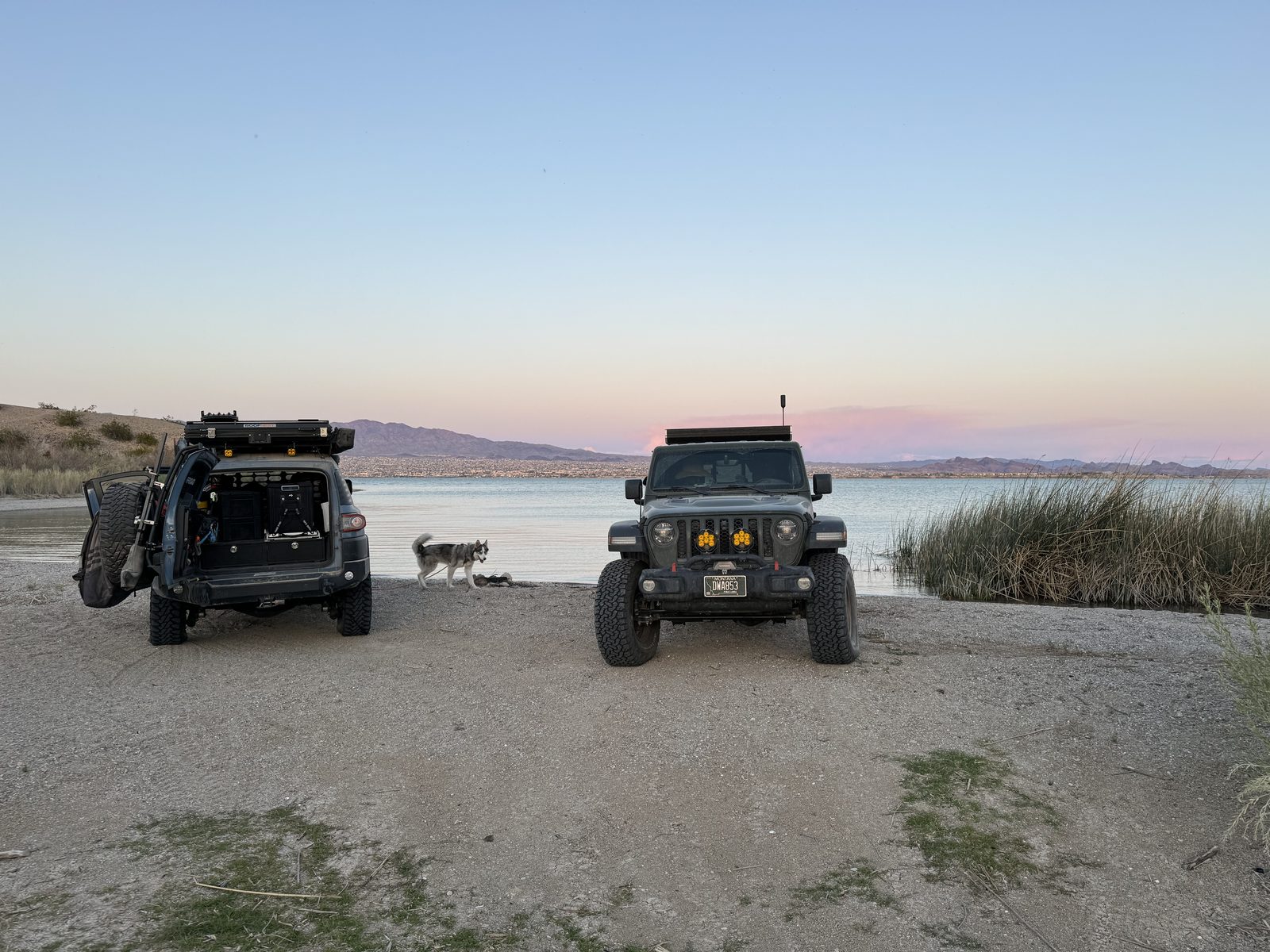
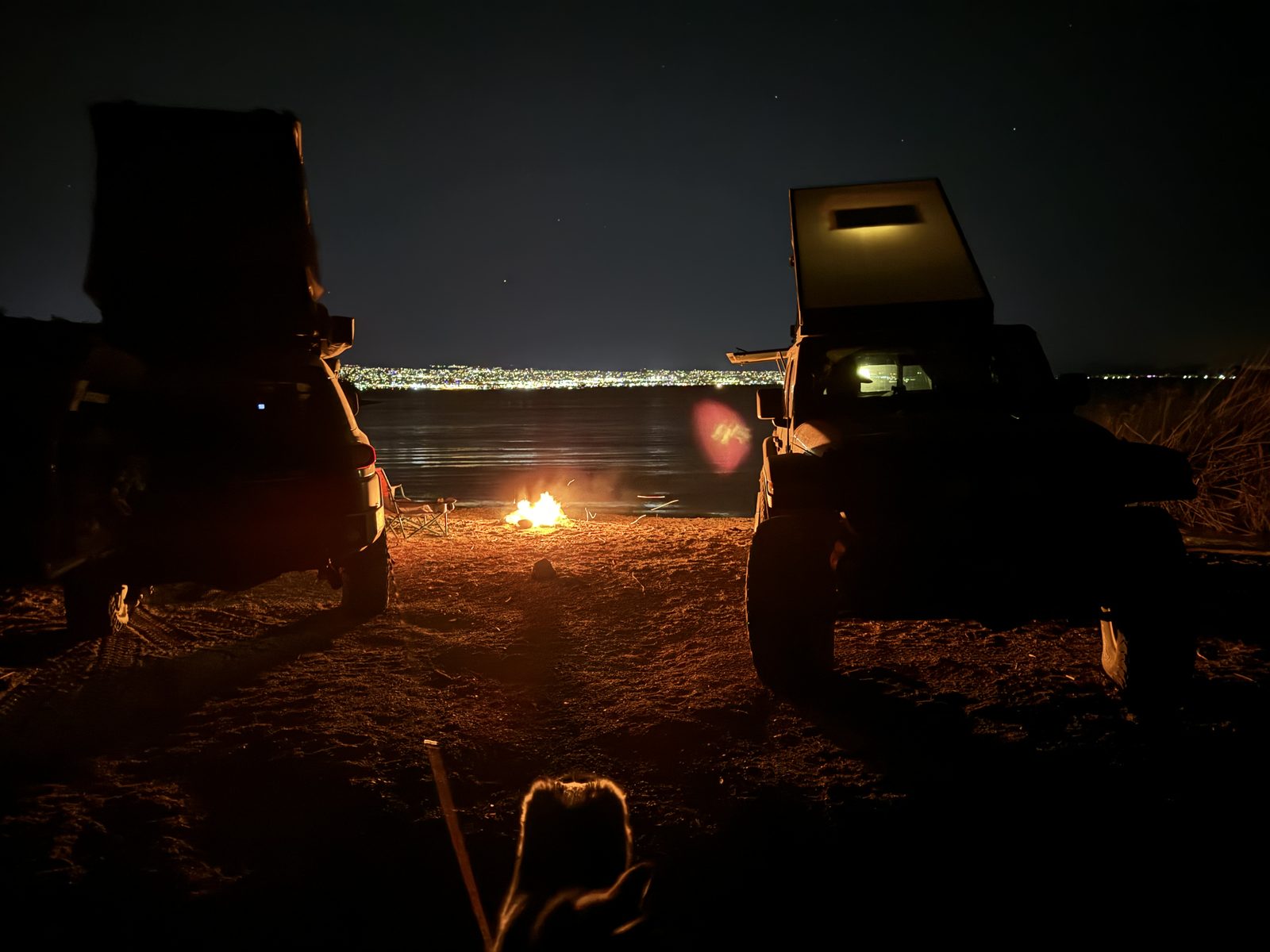
After a week of dust and no water anywhere, pulling up to Lake Havasu was amazing. We spent the last night camped on a beach, looking out over the lake.
The Mojave took one more thing on the way out Saturday morning. We stopped to explore some steep dunes, clearly the work of buggies, and while we were turning around a big gust of wind swooped in and took Eric's favorite hat. It's a resident of the Mojave now.
What broke
Three real breakdowns, two of them on the FJ, plus a passenger mirror that lost an argument with a Joshua tree on day one. A gas-station mirror and gorilla tape covered that until I got home.
The FJ's front caliper bolt, March 3. One of the bolts holding the front passenger-side brake caliper backed out and fell off somewhere on the trail between Searchlight and Nipton. The first sign was a terrible noise and the wheel dragging. We never found the bolt. The fix was a round trip to Henderson in the Jeep, a hardware-store bolt, and a repair on the trail at dusk. It cost us the rest of the day, and the day is what we eventually cut.
The wash, March 5. About 40 mph into a hidden 3-foot wash in the Devil's Playground, with brakes that couldn't bite. The front left bumper took the hit and was fine. The driver's fender crumpled at the door hinge and the mirror ended up in the back. The damage we didn't find was under the hood. From the next day on, the FJ would randomly die while driving, every day until we got home. It was worst on March 8 in the whoops toward the Old Woman Mountains. At home I found it: the impact had loosened the dual battery setup, and when the battery jiggled it touched the fender and shorted out. The rivnuts that held the battery cage to the fender had cracked loose in the impact. Once I knew that, the fix was quick: I welded the rivnuts back to the fender and painted the inside of the fender where the battery had been shorting against it.
The fender itself I pulled off at home and worked straight with body hammers, then sanded it and sprayed it with special-order Heritage Blue. It went back on and nobody can tell it happened unless they look too closely at my clearcoat.
The Gladiator's 4WD, March 7. Gone halfway up Foshay Pass, on loose rock, on the steepest climb of the trip. Eric made the top in 2WD, and the 4WD came and went for the rest of the trip. The problems didn't end with the trip either. Eric fought them for another year before he tracked the whole thing down to a single wire.
Dealerships and parts stores in Henderson couldn't match the caliper bolt. Ace Hardware had one that fit. I'm still running that Ace bolt, and there's a spare in my drawers now, just in case. If your truck has a bolt you'd hate to lose, look up its size and thread before you go, and carry a spare.
The cut
On the plan, Day 3 was the longest day of the trip, 140 miles: a loop of about 103 miles north and west from the Colosseum Mine and back to camp in the Mescal Range. That loop is the Kingston section, the remote end of Segment 2 north of I-15. We drove none of it. By the morning of March 4 the caliper bolt had put us a day behind schedule, so we went from the emergency camp past Nipton and the Colosseum Mine and straight on to Rodger's Cabin, and picked the plan back up the next morning. It's the dashed loop on the Segment 2 map.
It's the one piece of the loop we still owe. Mailbox 2 sits out on the Kingston section, the only one of the four we didn't sign, and we'll be back for it.
Detours
- Henderson. Not one we chose. The missing caliper bolt sent us off the trail and up the highway to Henderson, Nevada, and the hardware store that had the right bolt.
- Around Fenner. Just past Fenner on March 8, the trail's railroad crossing was completely closed for construction. We rerouted on the spot and drove about 35 miles of other roads to get back on the trail past Mailbox 4.
- Lake Havasu. The last night was off the trail on a beach at Lake Havasu, the one camp on the plan that needed a permit from the reservation. After a week without seeing water, it was worth every mile off the route.
If you go
- Respect the washes. At speed in sand, a wash shows up late and brakes barely work. Slow down through anything you can't see the bottom of.
- After a hard hit, check the battery. If the truck starts dying at random afterward, look for a battery or a dual-battery tray that's shifted and touching metal.
- Check your bolts before you go. Caliper bolts, and anything else that holds a brake or a wheel on. Torque them, and carry a spare of each size.
- Carry the current track. The 1980s books still have the history and the stories, but they predate the closures. Drive the reroutes. We built ours on Billy Creech's.
- Two rigs minimum. Casebier said it himself: no single vehicle should try it. Alone, the caliper bolt would have meant a long walk or a tow out from near Nipton. With a second rig, it meant a drive to Henderson.
- Plan fuel around the gaps. Mark every fuel stop before you go and plan the days around them, even if it means backtracking. Eric's diesel barely noticed the gaps between stations, and my FJ noticed every one. We filled up in Needles, Searchlight, Ludlow and Fenner. The longest stretch was Searchlight to Ludlow, about 240 miles of trail. And if you're counting on Ludlow for beer, don't. It's a dry town.
- Time. The guidebooks suggest about three days a segment. We planned eight days for the whole loop, took nine, and still cut a hundred miles.
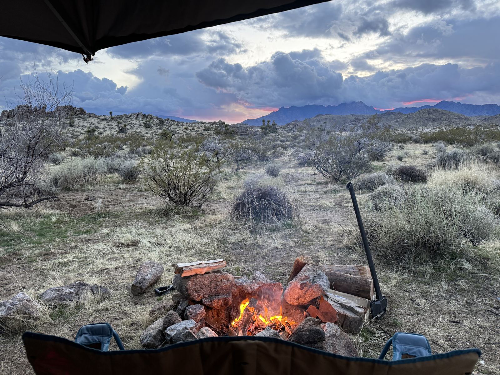
- Season. We went the first week of March 2024, and it was colder and stormier than early March has any right to be. Las Vegas finished the month more than 3 degrees below normal. After the wind of the first weekend, a couple more storms rolled through with rain, and it didn't feel nice out until the last night at the lake. With so many hours of driving every day, at least we spent most of it climate-controlled in the rigs. Pack for cold nights and wind, whatever the calendar says.
- Skip the worst whoops. Past Mailbox 4, side-by-sides have turned long stretches toward the Old Woman Mountains into whoops. Look at the map before you go and plan a reroute around the worst of it.
It tried to break us. All it did was make us want to come back and do it again.
Further reading
- Driving the 660-Mile East Mojave Heritage Trail, Expedition Portal, on Billy Creech's 2019 run and the reroutes
- East Mojave Heritage Trail guidebooks, Dennis G. Casebier and the Friends of the Mojave Road, four volumes